According to Cnet's story Google diving into 3D mapping..., soon we'll all be able to get in a submarine and fly-through canyons to see the underwater world in high resolution the way marine scientists do. The new product will be an assimilation of improved satellite altimetry, multibeam echosounder technology, and other declassified information to allow unprecedented insight to the ocean realm.
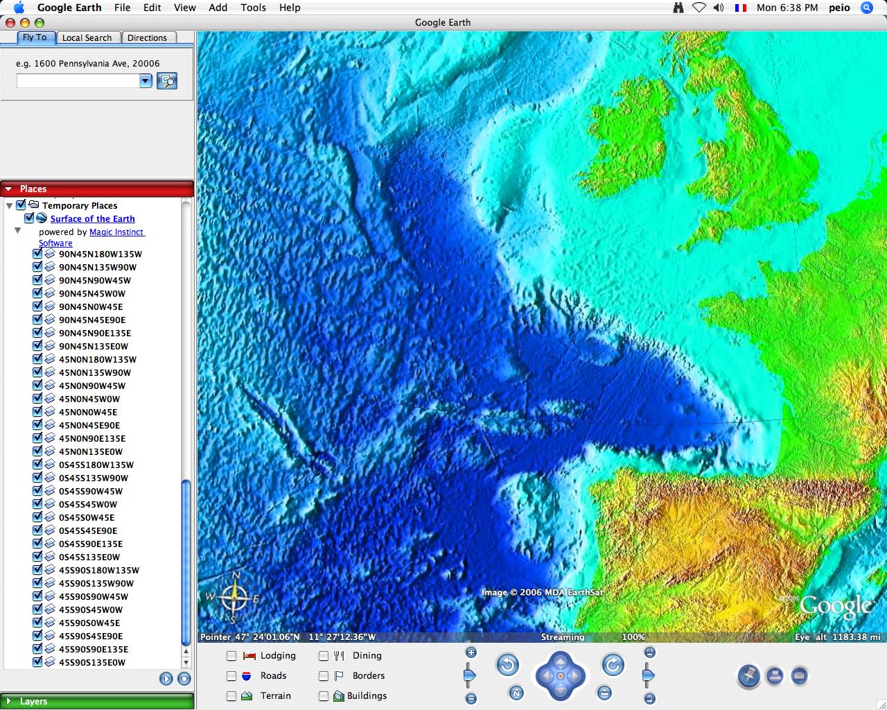
The tool, however, is not to be confused with the "Google Ocean" project by France-based Magic Instinct Software that uses Google Earth as a visualization tool for marine data. Bathymetry Weather |